Drones
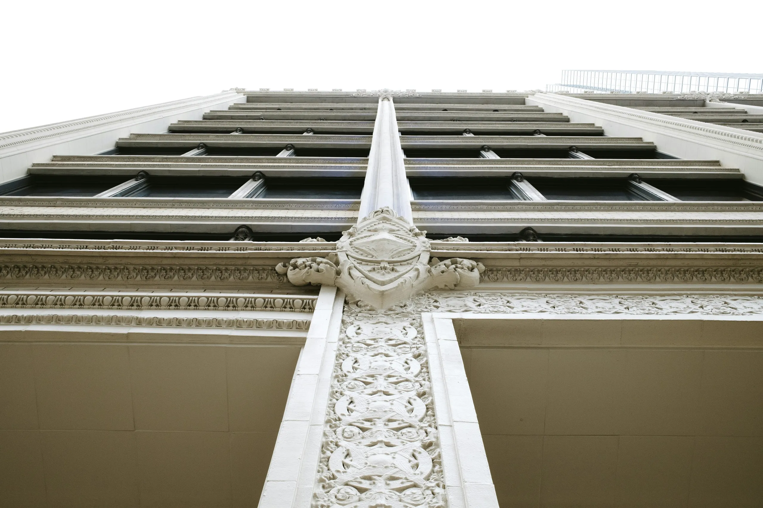
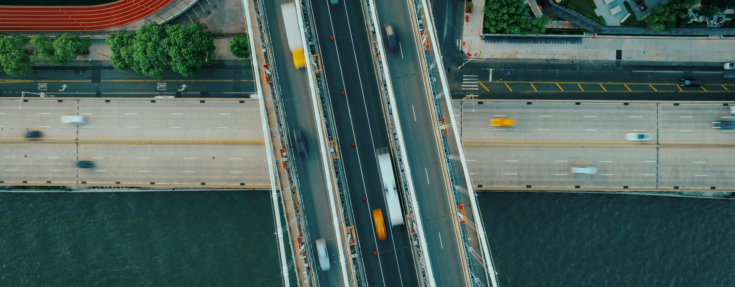
The drone service covers aerial surveys and inspections of buildings, infrastructure and large or hard-to-reach areas. The photographs can be processed through photogrammetry to obtain orthophotos, point clouds, three-dimensional models and documentation supporting inspection and survey activities.